I recently wrote a post on my research blog all about using free GIS software to extract point data from vector and raster maps. I won’t repeat it here, but this is the upshot:
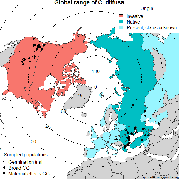
One of the most powerful uses of GIS technology is to sample and analyze data from GIS data layers. For instance, if you have a set of GPS coordinates for a species of plant from Utah, and you want to find out what range of climate types the plant grows in, you can use digital raster layers for climate (high and low temperature, rainfall, etc.) to extract estimates for the conditions that your plants experience at the locations where you sampled it. Then, you can use that data for many purposes: reconstruct it on a phylogenetic tree, test for divergence in climate regime among populations, test for associations among variable (for instance among soil and climate). Really, anything.
Let me know if you have any questions! I’m happy to help people get this going for specific data sets.