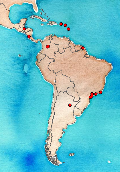
Click a point on the map or a link below to view another field site.
Aguasca, Colombia
Aguasca (4° 46' N, 74° 10' W)
Colombia
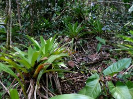
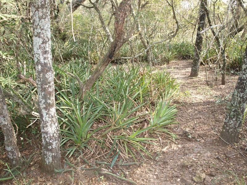
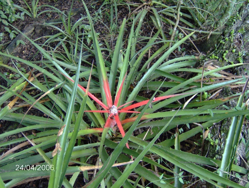
Cardoso, Brazil
Parque Estadual da Ilha do Cardoso (25° 03' S, 47° 53' W)
Sao Paulo, Brasil
Mean annual precipitation (mm/month): 27.2 - 292.1
Mean annual temperature (°C): 16.9 - 23.1
climate data retrieved from the
NOAA Climate Data Center website using the station nearest to the field site (Sao Paulo) from years 1991-2000
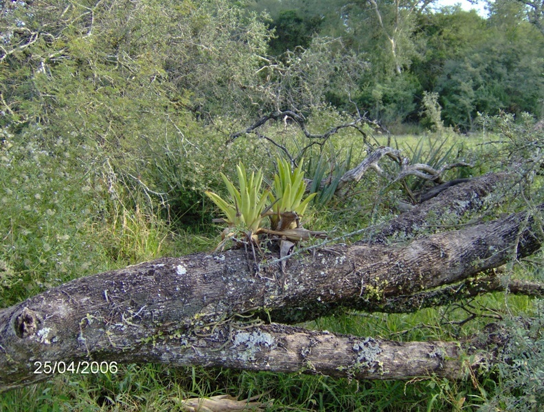
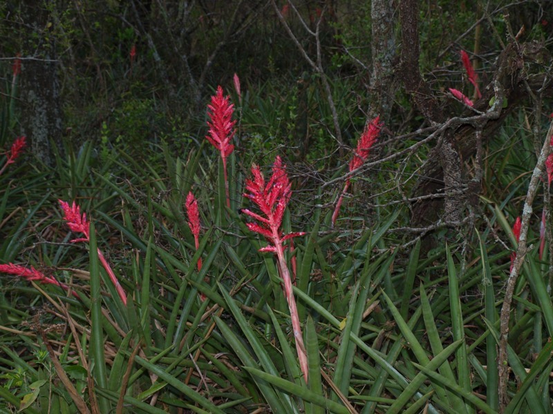
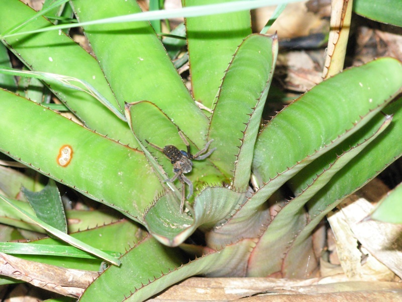
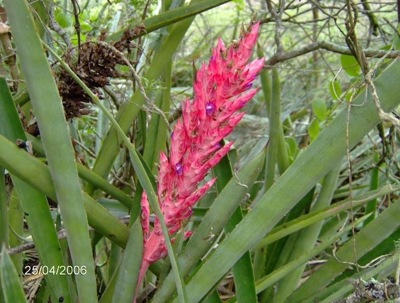
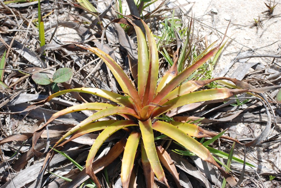
Las Gamas, Argentina
Las Gamas (29° 28' S, 60° 28' W)
Santa Fe, Argentina
Mean annual precipitation (mm/month)*: 31.9 - 155.1
Mean annual temperature (°C)*: 10.8 - 24.5
* climate data retrieved from the
NOAA Climate Data Center website using the station nearest to the field site (Parana Airport) from years 1991-2000
Luquillo, Puerto Rico
Luquillo Experimental Forest (18°20' N, 60°50' W)
Puerto Rico
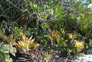
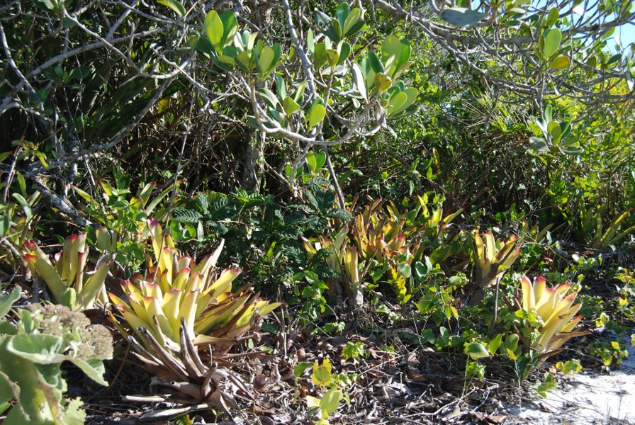
Macae, Brazil
Macae Restinga de Jurubatiba National Park (22°23' S, 41°45' W)
Rio de Janeiro, Brazil
Mean annual precipitation (mm/month): 21.9 - 123.3
Mean annual temperature (°C): 21.7 - 26.9
climate data retrieved from the
NOAA Climate Data Center website using the station nearest to the field site (Campos) from years 1991-2000
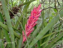
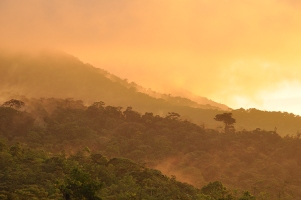
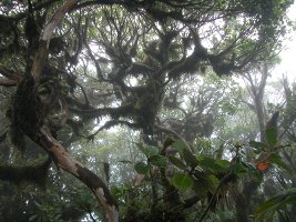
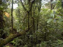
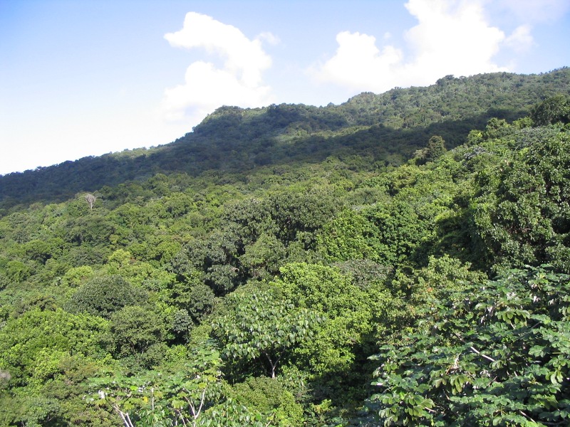
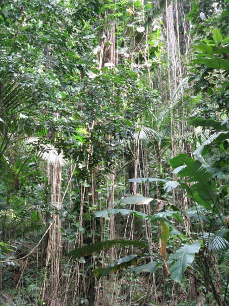
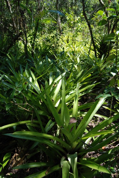
Morne Trois Pitons, Dominica
Morne Trois Pitons (15°24' N, 61°18' W)
Dominica
Mean annual precipitation (mm/month): 39.8 - 306.1
Mean annual temperature (°C): 26.2 - 28.9
climate data retrieved from the
NOAA Climate Data Center website using the station nearest to the field site (Canefield Airport) from years 1991-2000
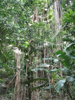
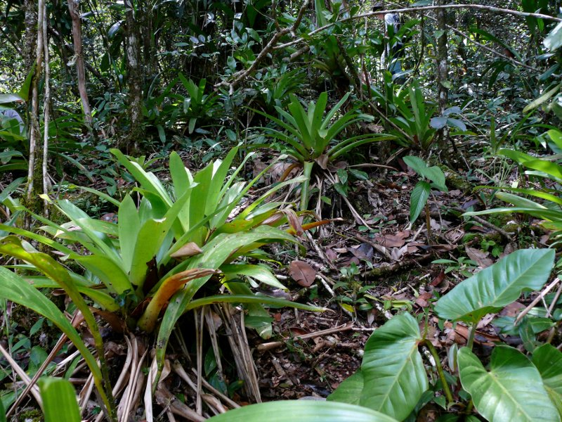
Nouragues, French Guiana
Nouragues Tropical Forest Research Station (4°5'N, 52°41'W)
French Guiana
Mean annual precipitation (mm/month): 65.0 - 372.4
Mean annual temperature (°C): 25.9 - 27.3
climate data retrieved from the
NOAA Climate Data Center website using the station nearest to the field site (Saint-Laurent Maroni) from years 1996-2000
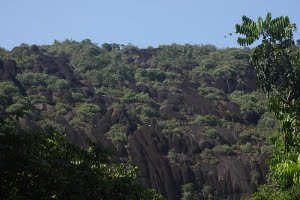
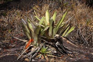
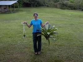
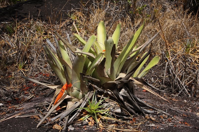
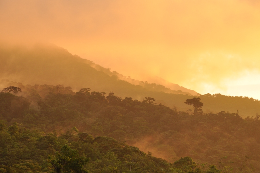
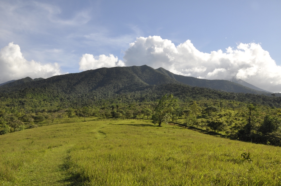
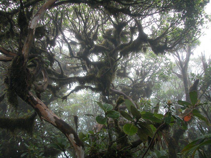
Pitilla, Costa Rica
Estacion Biologica Pitilla (10°59' N, 85°26' W)
Costa Rica
Mean annual precipitation (mm/month): 2.1 - 452.4
Mean annual temperature (°C): 25.8 - 29.4
climate data retrieved from the
NOAA Climate Data Center website using the station nearest to the field site (Liberia) from years 1991-2000
Aguasca, Colombia
Cardoso, Brazil
Las Gamas, Argentina
Luquillo, Puerto Rico
Macae, Brazil
Morne Trois Pitons, Dominica
Nouragues, French Guiana
Pitilla, Costa Rica
Saba